Travel Guide of Kilcunda VIC in Australia by Influencers and Travelers
Kilcunda is a seaside town located 117 kilometres south east of Melbourne between Phillip Island and Wonthaggi near Dalyston via the South Gippsland Highway on the Bass Highway, in the Bass Coast Shire of Gippsland, Victoria, Australia.
Download the Travel Map of Australia on Google Maps here
The Best Things to Do and Visit in Kilcunda VIC
TRAVELERS TOP 10 :
1 - Cape Woolamai, Victoria
10 km away
Cape Woolamai is a town and headland at the south eastern tip of Phillip Island in Victoria, Australia. It is home to Cape Woolamai State Faunal Reserve and the Phillip Island Airport. Cape Woolamai contains a subdivision also called Cape Woolamai.
Learn more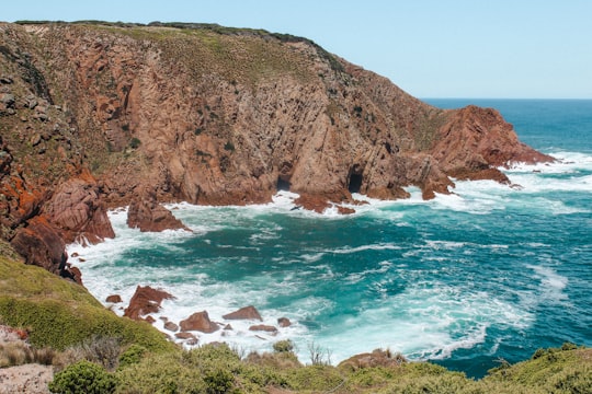
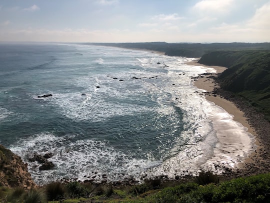
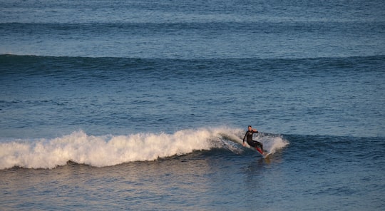
2 - Woolamai Surf Beach
12 km away
Learn more
3 - Smiths Beach
20 km away
Smiths Beach is a small town on Phillip Island in Victoria, Australia. It is located on Back Beach Road, on the shores of Smiths Beach. It is home to a short-tailed shearwater colony.
Learn more
4 - Phillip Island
22 km away
Phillip Island is an Australian island about 125 km south-southeast of Melbourne, Victoria. The island is named after Governor Arthur Phillip, the first Governor of New South Wales, by explorer and seaman George Bass, who sailed in an open whale boat, arriving from Sydney on 5 January 1798.
Learn more Book this experience

5 - Phillip Island Road
23 km away
Learn more
6 - Flinders VIC
26 km away
The Division of Flinders is an Australian Electoral Division in Victoria. The division is one of the original 65 divisions contested at the first federal election.
View on Google Maps Book this experience
7 - Nobbies Centre
31 km away
The Nobbies Centre is an ecotourism destination located at Point Grant, on the western tip of Phillip Island, Victoria, Australia.
Learn more Book this experience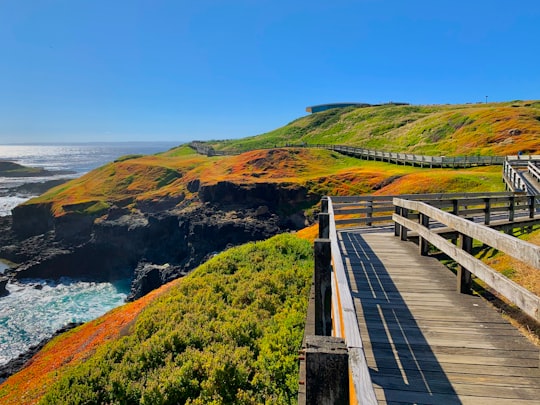
8 - Venus Bay
32 km away
Venus Bay is a wide bay and a township on that bay on the east coast of Victoria, Australia. At the 2016 census Venus Bay had a population of 944. The name Venus Bay was given to the bay by a French expedition under Nicholas Baudin. This was apparently after George Bass's trading ship the Venus. The town of Venus Bay is situated on a narrow peninsula of land located 180 km south-east of Melbourne. Originally named Evergreen the town takes its name from the body of water on its western shore. On the eastern side of the peninsula is Anderson's Inlet, named after the settler Samuel Anderson.
Learn more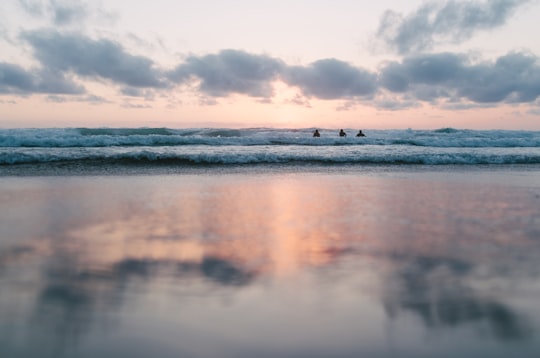
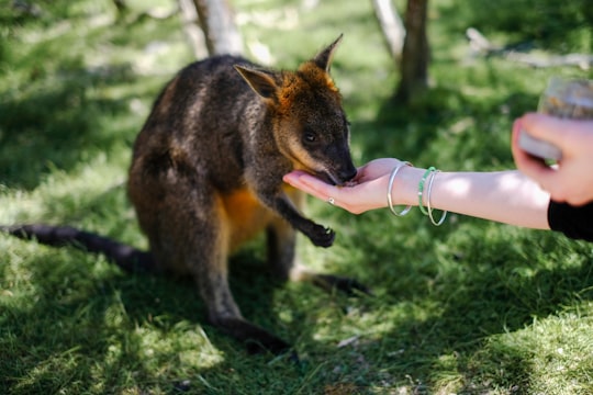
9 - Moonlit Sanctuary
42 km away
Moonlit Sanctuary Wildlife Conservation Park is a 25-acre biopark within the Pearcedale Conservation Park located at Pearcedale on the Mornington Peninsula near Melbourne, Australia.
Learn more Book this experience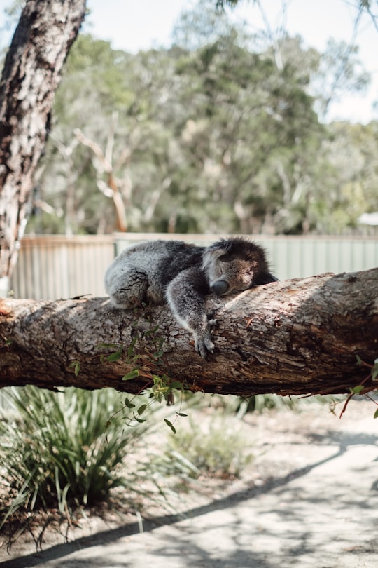
10 - Tarwin Lower VIC
43 km away
Tarwin Lower is a small town located 175 kilometres south-east of Melbourne, Australia. It rests on the south bank of the Tarwin River and at the 2006 census, had a population of 115.
Learn more
11 - Safety Beach VIC
50 km away
Safety Beach is a seaside town in Metropolitan Melbourne on the Mornington Peninsula, Victoria, Australia. Its local government area is the Shire of Mornington Peninsula. At the 2016 census, Safety Beach had a population of 4,821.
Learn more
Disover the best Instagram Spots around Kilcunda VIC here
Book Tours and Activities in Kilcunda VIC
Discover the best tours and activities around Kilcunda VIC, Australia and book your travel experience today with our booking partners
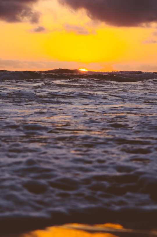
Pictures and Stories of Kilcunda VIC from Influencers
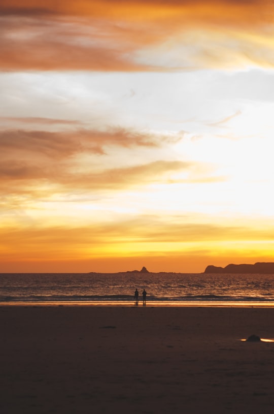
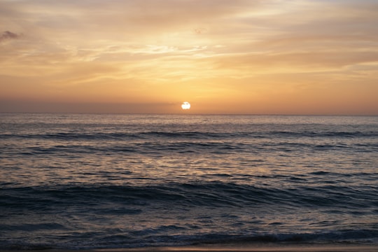
2 pictures of Kilcunda VIC from Jacob Dyer, Meltem Selamoglu, and other travelers
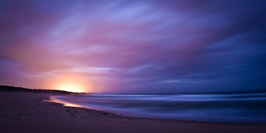
- Lights from the desalination plant under a stormy sky. ...click to read more
- Experienced by @Jacob Dyer | ©Unsplash
Plan your trip in Kilcunda VIC with AI 🤖 🗺
Roadtrips.ai is a AI powered trip planner that you can use to generate a customized trip itinerary for any destination in Australia in just one clickJust write your activities preferences, budget and number of days travelling and our artificial intelligence will do the rest for you
👉 Use the AI Trip Planner
Why should you visit Kilcunda VIC ?
Travel to Kilcunda VIC if you like:
🏖️ ShoreWhere to Stay in Kilcunda VIC
Discover the best hotels around Kilcunda VIC, Australia and book your stay today with our booking partner booking.com
More Travel spots to explore around Kilcunda VIC
Click on the pictures to learn more about the places and to get directions
Discover more travel spots to explore around Kilcunda VIC
🌊 Ocean spots 🏖️ Shore spotsTravel map of Kilcunda VIC
Explore popular touristic places around Kilcunda VIC
Download On Google Maps 🗺️📲